
Technology Taking Off
We're teaching drones to fly and figure out directions all on their own.
When Hurricane Katrina made landfall in the US in 2005, drones were deployed to survey the destruction and relay critical, life-saving information from places where communication lines were down.
Today, drones are commonly used in search-and-rescue operations around the world to assist during accidents or natural disasters like earthquakes and avalanches. Drones act as the eyes and ears for rescue operators. They can survey and photograph hard-to-reach places, and cover large areas that would take longer if done on foot.
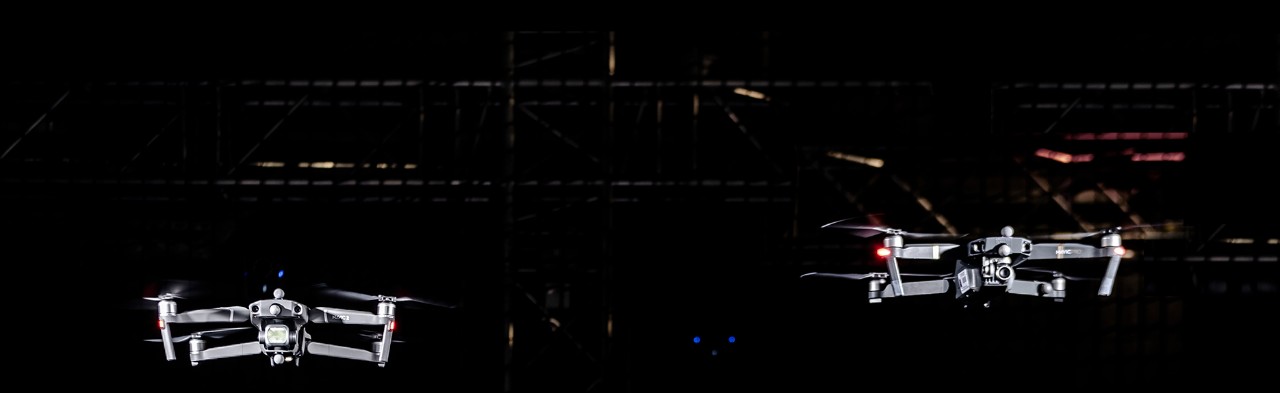
NYU Abu Dhabi is spearheading research for a new generation of search-and-rescue drones capable of doing all that and more. The key difference — drones of the future are autonomous. They can fly without an operator, communicate with other drones when part of a fleet, recognize where they are at any given time, and detect, map, and avoid obstacles in their path.
Autonomous drones are equipped with a suite of sensors and powerful computers that enable them to fly around and collect data on their own, without human intervention. They’re intelligent, adaptive, perceptive, and as aware of their surroundings as humans are, all thanks to built-in technology.
By ‘touching’ the environment, these drones can be used for inspection purposes or in medical-related operations.
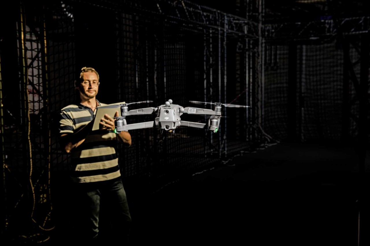
Anthony Tzes, professor and head of electrical and computer engineering at NYU Abu Dhabi, has spent his career developing new types of drone technology, plus robotics, and control engineering applications.
For autonomous drone technology to work, he says, the drones “need to communicate with each other. They can communicate as long as they know where they are,” which is easiest outdoors using GPS. Inside a collapsed building or tunnel, however, things become tricky. “How do drones know where they are?”
In search-and-rescue operations, autonomous drones need to be uniquely programmed to figure out where they are on their own, Tzes explains. Simultaneous localization and mapping technology helps a drone create a map of its surroundings as it moves around an unknown environment, and pinpoint its own location within the map.
To achieve this kind of precision, researchers attach stereoscopic cameras to the drones — two or more cameras that can create 3D images — so the drones can precisely measure where obstacles are located. The navigation technology they’re working with is similar to what’s used on commercial airplanes: GPS, accelerometers, magnetometers, and gyroscopes. All of this is then combined with computer algorithms to generate maps.
A fleet of autonomous drones are being tested inside NYU Abu Dhabi’s motion capture lab Kinesis, a shared research facility that is part of the Core Technology Platform. Under simulated conditions, the drones fly around indoors, navigating their way through a mock obstacle course, while researchers test their mapping accuracy.
In the near future, Tzes says, NYU Abu Dhabi ’s autonomous drones will also be equipped with robotic arms that will allow them to come in contact with objects nearby. “By ‘touching’ the environment, these drones can be used for inspection purposes or in medical-related operations.”