Maps and Mapmaking
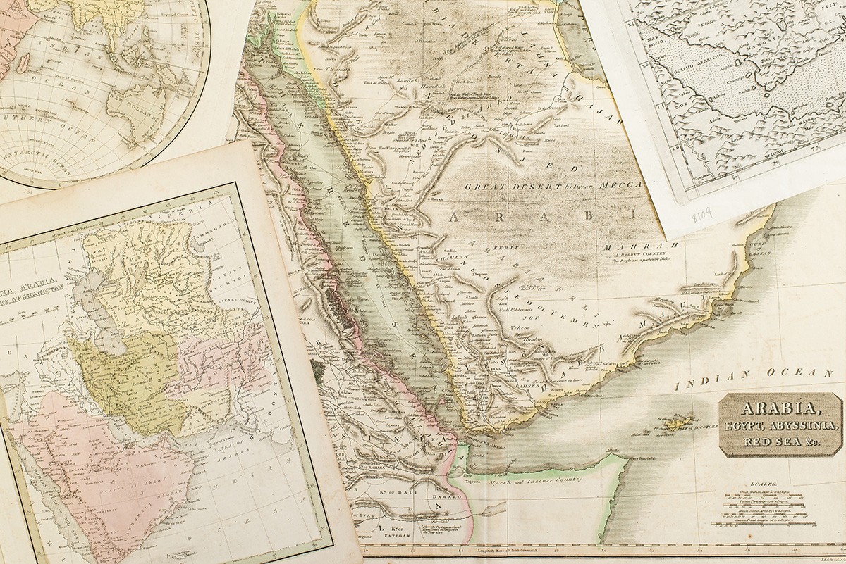

Cartography is not a static, impartial discipline, and this collection traces the evolution of maps of Arabia and its adjacent regions over the past five centuries. The maps collected here reflect a variety of interests, perspectives, and priorities.
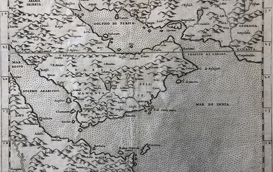
- 16th-century Venetian map based on Ptolemaic conceptions of the region
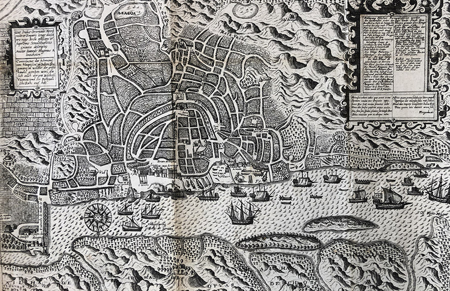
- 17th-century plans designed for European seafarers traveling through the region on their way to India
- 18th- and 19th-century Ottoman atlases
- Works created by 18th- and 19th-century scientists and geographers
- 20th-century hydrographic charts of the Gulf
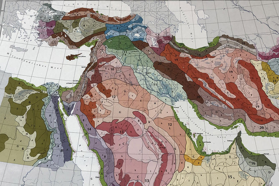
- Maps delineating sources of oil and shifting boundaries in the Arabian deserts
Selected Highlights
Viewing
Contact us at nyuad-asc-group@nyu.edu to arrange an appointment.
Follow Us
![]()
![]()